What’s Impacting the Weather in the Southwest?
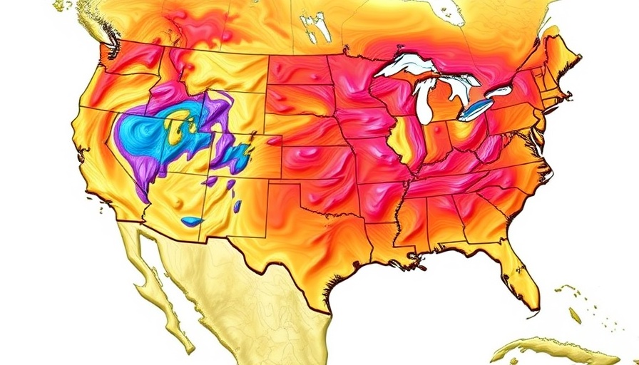
As the remnants of Hurricane Priscilla swirl off the Pacific, regions in the Southwest, particularly Southern California, are bracing for a wave of rainfall and thunderstorms. Starting Thursday through the weekend, moisture will sweep into Southern California, potentially bringing heavy rainfall to the area.
This weather shift comes after a notably warm September, with California experiencing milder than usual temperatures. High humidity, coupled with unpredictable rainfall, has provided a silver lining in fire hazard mitigation across the state. Atmospheric conditions have helped keep fire risks low, but precaution is vital as storms approach.
Late-Season Rain: A Double-Edged Sword
The arrival of precipitation in Southern California is part of a larger weather pattern that has exhibited unusual characteristics this season. Farmers and local residents may find the rains welcome; however, as seen in previous events tied to moisture from tropical storms, these systems can easily tip into dangerous territories. Flash flooding remains a possibility as these storms move through the region, which could cause complications in flash watershed areas.
In regions like Phoenix, Arizona, assessments indicate potential rainfall up to 1.25 inches, easing into the area by Friday. The expected steady trickle of rain, rather than sudden downpours, should mitigate flash flooding risks associated with sudden deluges. Despite careful measurements, even gradual storms can lead to localized flooding, particularly in areas unaccustomed to substantial moisture.
Climate Context: Why This Matters Now
The unusual September warmth across California and parts of Nevada has highlighted ongoing shifts in climate patterns driven by warming ocean temperatures. Studies indicate that the current marine heatwave is influencing atmospheric conditions, creating environments conducive to rain events that many attributed to seasonal shifts. This especially impacts local agriculture and public safety.
As we witness these systems moving along the coast, it’s essential to keep an eye on the broader implications of prolonged rainfall patterns. While much of Southern California is not expected to face the shocking intensity of previous storms, cumulative rain here could lead to resource management and urban drainage challenges, raising questions on preparedness for potential future extremes.
Looking Ahead: What’s Next in Weather Patterns?
Forecasts suggest that the wet weather isn’t going to dwindle just yet. Meteorologists anticipate that additional tropical systems may develop, fuelling ongoing rainfall opportunities in the next week. Communities should prepare for an active weather period as moisture flows in from the remnants of Priscilla, indicating potential further storms approaching from the south.
As we consider the current landscape of the Southwest’s weather, proactive engagement with local forecasts and readiness for unpredictable weather can enhance safety and comfort for residents. The convergence of tropical moisture patterns calls for monitoring and community awareness as serious consequences can arise from even staggered rainfall.
Taking Action: Stay Informed and Prepared
For residents in the Southwest, remaining vigilant about weather conditions is crucial. Sign up for local alerts and keep track of updates from meteorological services as new information emerges about approaching weather systems. While we have seen beneficial rain, it is essential to respect the power of these weather patterns and ensure safety measures are in place. Increased rainfall may ease fire threats, but it also brings new risks that require community preparedness.
 Add Row
  Add
Add 


Write A Comment