


California’s October Surprise: Notable Warmth Precedes Upcoming Storm
This fall has proven unusual for California, especially in Northern regions where the closing days of October brought a remarkable stretch of warmth. With temperatures surpassing typical late October highs and setting records in several locations, residents across the state have found themselves basking in unseasonably warm weather. In just a week, however, forecasts have shifted dramatically, signaling a quick turn towards wetter conditions as an atmospheric river approaches the North Coast.
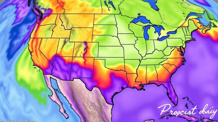
Unveiling the Atmospheric River Impact
The atmospheric river set to hit Northern California brings with it heavy rainfall and gusty winds, predicted to commence on Tuesday and wrapping up through Wednesday. This system combines extremely moist air with dynamic lift, promising substantial precipitation that could exceed several inches in areas like the North Coast and southern Oregon. Notably, this system’s southern extent appears to have changed, now affecting regions farther south than initially anticipated—potentially stretching to areas as far as San Francisco and Monterey Bay.
Differing Impacts: Wet North vs. Dry South
A critical aspect of this weather pattern is the 'dipole effect,' where Northern California is targeted for heavy rain while Southern California remains dry. As the storm builds, Northern regions could see flooding, particularly in urban settings where runoff is a concern. Conversely, Southern California could continue experiencing the warm, dry conditions that have marked October. This disparity poses challenges for local infrastructure and wildlife, especially since a majority of the foliage is still intact, making it vulnerable to strong winds and potential uprooting.
Historical Context: A Repeat of Past Patterns
Historical weather patterns indicate that such late-season atmospheric rivers are not entirely out of the ordinary. California’s climatic variability has made it susceptible to abrupt shifts, particularly as atmospheric conditions change dramatically within weeks. The duality of dry versus wet in different parts of the state serves as a reminder of just how fragmented California's climate can be, leading to varied impacts on agriculture, water supply, and wildfire risk.
Preparing for the Upcoming Weather Changes
As meteorologists predict incoming storm disturbances, several preparations can help mitigate adverse effects. Residents in affected areas should be mindful of potential localized flooding and ensure drainage systems are clear and operational. It’s also wise to secure outdoor items to prevent wind-related damage. The upcoming weather will serve as a crucial test, especially in regions recovering from previous seasons of drought. The stakes are high as we navigate this erratic climate reality, especially with wildfire activity still a concern due to the recent heat.
Future Projections: More Rain or a Return to Normalcy?
Looking ahead, forecasts suggest ongoing fluctuations with the potential for more rainfall later this month. While the current storm brings immediate concerns, its resolution might lead to a period of uncertainty—the kind that could set the stage for either further precipitation or a return to warming trends. As there is greater uncertainty projected for Southern California, stakeholders across sectors—from agriculture to public safety—should stay informed and adaptable as conditions evolve.
In summary, as we prepare for this transition from warmth to a forecasted deluge, it’s essential to remain vigilant and informed regarding not only our immediate safety but the longer-term implications of continuing unpredictable climate patterns. More than ever, community awareness and preparedness will play key roles in navigating these dynamic events.
Stay tuned as we continue to monitor these developments and provide updates on how the weather shapes our landscape and lifestyle.


Write A Comment